Manor Site farm
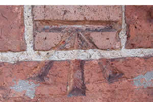
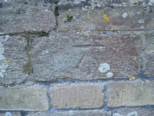
The first benchmark features on a farm building adjacent to the B660, interestingly this cut mark is a mere youngster in the history of cut marks as the concrete block wall was only built in the late 1960’s.

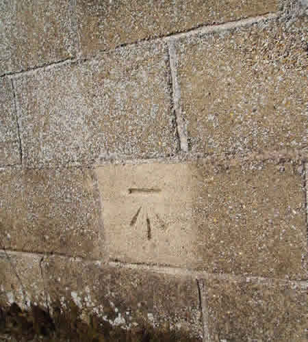
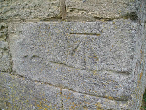
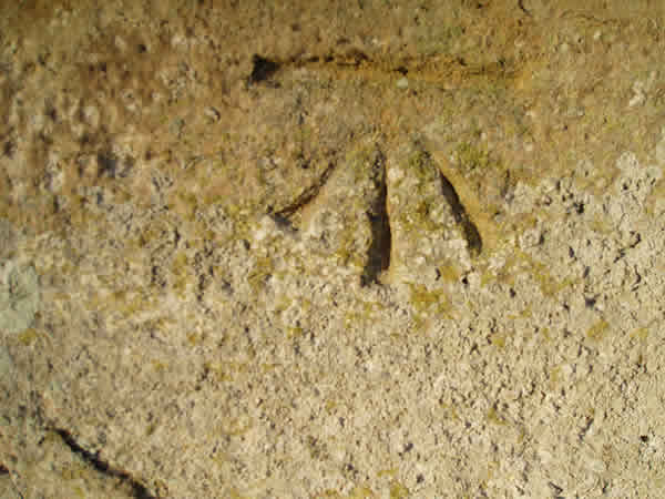
The unseen, unobserved or hidden feature this time around reflects the work of the Ordnance Survey. As we know the British Isles has been thoroughly surveyed over the last two centuries resulting in the most comprehensive maps available. Its easy to loose sight of how these maps came into being now that electronic data positioning impacts on our day-to-day lives. Benchmarks or cut marks as these markings are known are the lowest order of all OS instruments of measurement primarily for the purpose of establishing levels in a given locality. Helpful for builders and surveyors when setting out drains and foundations.
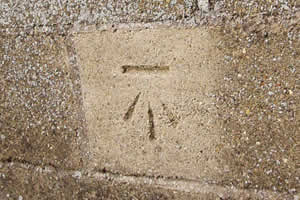
The first benchmark features on a farm building adjacent to the B660, interestingly this cut mark is a mere youngster in the history of cut marks as the concrete block wall was only built in the late 1960’s.
The best place to spot benchmark are on Churches, mostly because they are public spaces, they have been around for longer than any other building and given the time they have stood, the cut marks are not likely to suffer from subsidence, rendering them inaccurate.
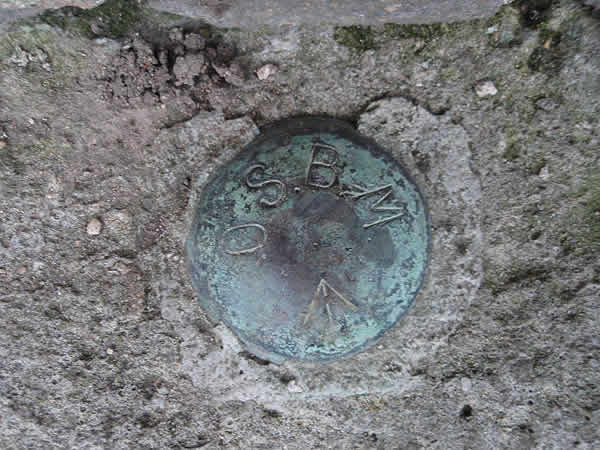
All levels are derived from fundamental benchmark which are OS levelling points established on the bed rock of the country. The nearest fundamental benchmark to Great Gidding is just to the north of Castor and Ailsworth near Peterborough.
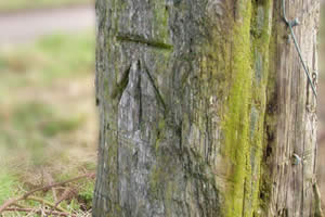
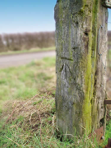
Sometimes a wall is not available so the next best thing, an oak gate post serves as a host for a benchmark.
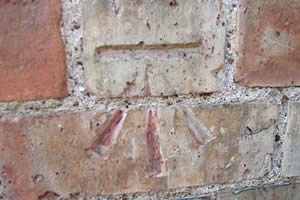
This one can be found between Great Gidding and Little Gidding.
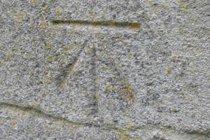
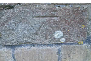
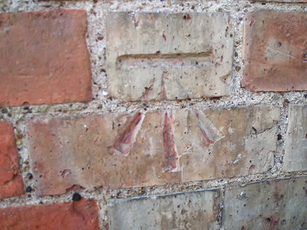
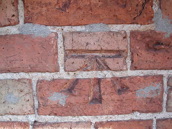
The two examples here are to be found on a cottage and house in the village.
As you can see a different style between the two but both to the OS Standard.
View larger image of cottage benchmark
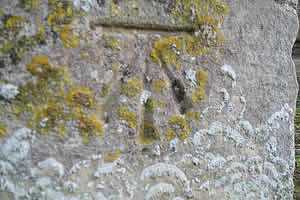
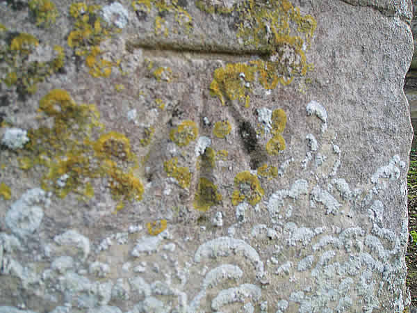
Good clear examples of benchmark can be seen on our neighbouring parish churches.
The moss, lichens and cracks validate each location. Not all churches carry these marks. Nothing could be found on Little Gidding or Luddington in the Brook Church.
If you haven’t noticed these marks before then train your gaze to old walls and public buildings between ankle and knee height.
The benchmark spotters real enemy is render and demolition. Many benchmarks have simply been covered over with Sandtex and the like.
View larger image of Winwick Church benchmark
View larger image of St Andrew's Church, Steeple Gidding benchmark
A different type of benchmark is a bolt and the example shown can be found again at knee height on St Botolph's Church, Boston.
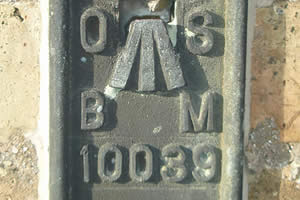
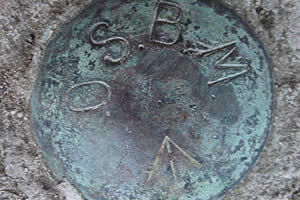
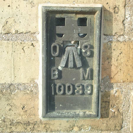
Previously we mentioned fundamental benchmarks where an accurate height above sea level could be measured and calculated. In order to establish further readings away from the 'Funds', survey lines were undertaken and at regular points another type of OS marker was established, these are called flush bracket benchmarks and as you can see they are cast metal with an individual number embossed into it. These numbers are highly sort after as they are specific to a location and many web sites exist to help locate and record them.
This particular bracket can be found near the road bridge at Alconbury Weston.